Paths and and hiking trails
In Esbjerg Municipality, we have many different trails, heart trails and routes around our beautiful nature. You have splendid opportunities for hiking, biking or touring on your mountain bike.
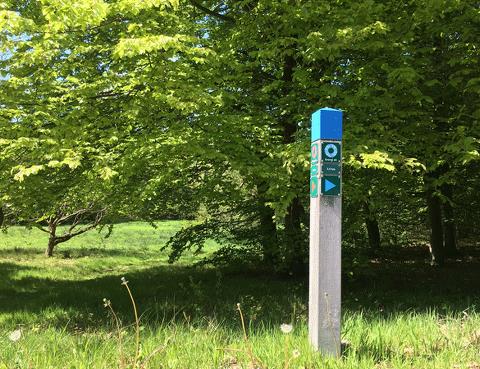
Energy Paths
Paths in Esbjerg, Ribe and Bramming
Here is a list of the Energy Paths in Esbjerg Municipality.
- Nørreskoven, red signe, 3,4 km
- Strandskoven, blue signs, 3,5 km
- Sønderris, green signs, 6,5 km
- Vognsbølparken, green signs, 2,6 km
- Kjersing,green signs, 2,3 km
- Sædding, blue signs, 5,3 km
- Hjerting, blue signs, 4,8 km
- Ribe, green signs, 2,7 km
- Ribe, blue signs, 5,8 km
- Bramming, blue signs, 2,8 km
- Gredstedbro, green signs, 3,6 km
- Gredstedbro, red signs, 2 km
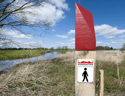
The Border Path
48 km along the old border
The Border Path follows the 1864 border from Vester Vedsted by the Wadden Sea to Villebøl by the Kongeå. The hiking trail can be divided into three stages:
- From Vester Vedsted to Høm
- From Høm to Obbekær
- From Obbekær to the Kongeå
Along the path you will find shelters if you wish to spend the night.